Our services

Surveying and cost consultancy

Specialist support for construction, engineering, infrastructure and water-related projects.

Explore our services
Survey technicians working with a total station and tablet
Surveyor measuring construction drawings for a quantity take-off
01

Commercial consultancy

Quantity surveying & cost consultancy

We measure from drawings, prepare bills of quantities and estimates, and support tender and contract decisions.

  • Quantity take-offs
  • Bill of Quantities preparation
  • Cost planning and estimation
  • Tender documentation and analysis
  • Procurement support
  • Pre-contract consultancy
  • Post-contract commercial management
  • Variation assessment
  • Interim payment applications
  • Final account preparation
  • Cost reporting and budget monitoring
  • Civil, structural, architectural and MEP QS
What is agreed at the project briefing?

Measurement rules, available design information, reporting format, assumptions and delivery milestones are confirmed with the client before work begins.

Software We Use

Measurement & take-offs
iTWO costX, PlanSwift
Drawing review & drafting
Bluebeam Revu, AutoCAD
BIM & model coordination
Navisworks, Revit
Request a QS quotation
02

Spatial information

Land & engineering surveying

We measure site features and levels for design, set out positions for construction, and record what was built.

  • Topographical and contour surveys
  • Boundary and cadastral surveys
  • Engineering and level surveys
  • Construction setting-out
  • As-built surveys
  • Road, route and infrastructure surveys
  • UAV / drone mapping
  • Digital mapping and data processing
  • Field data and survey reporting
What information helps define the survey?

Project location, purpose, available control, site access, required outputs and programme help establish an appropriate survey scope.

Discuss a land survey
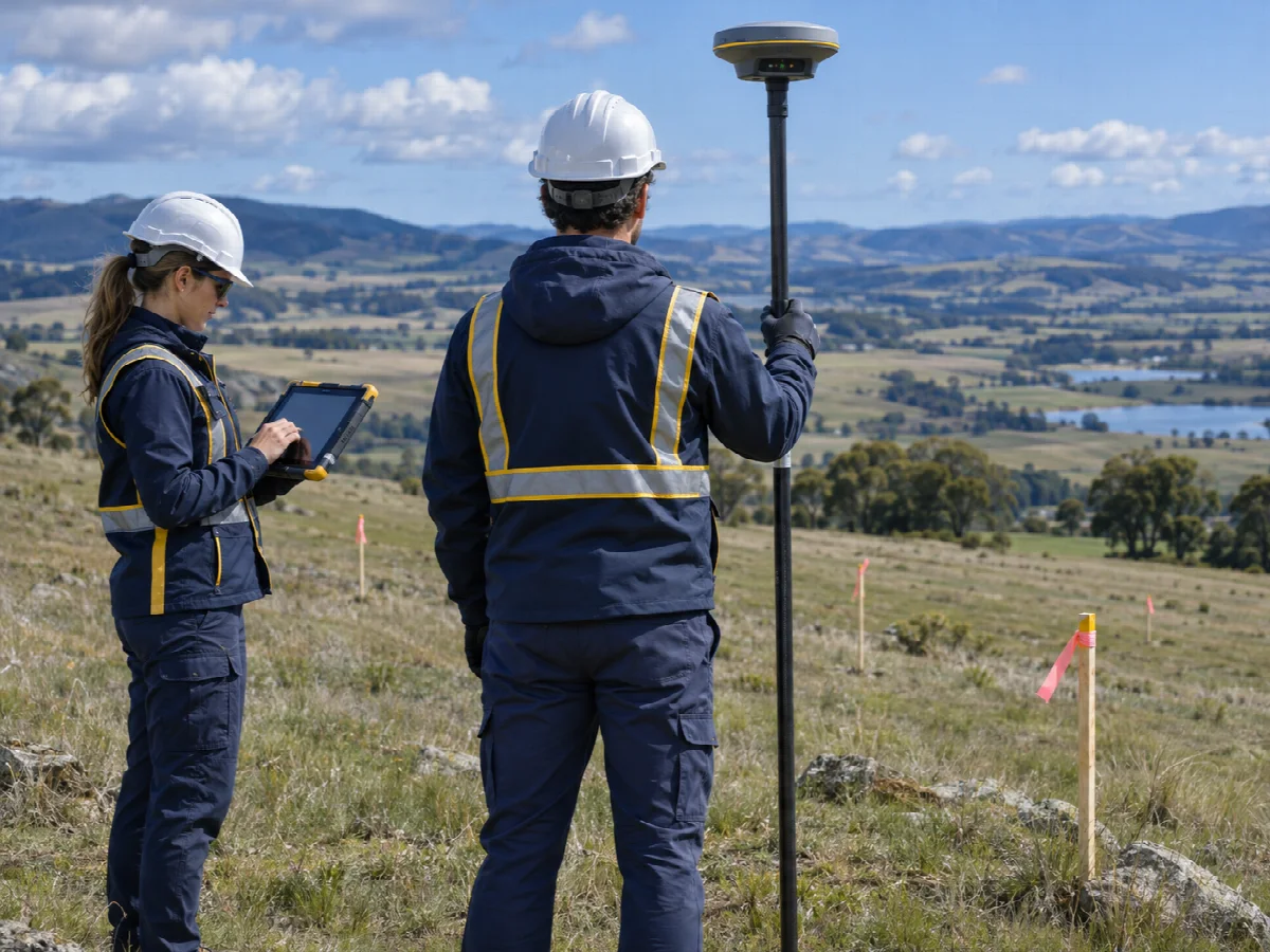
Surveyors collecting site measurements with a GNSS rover and tablet
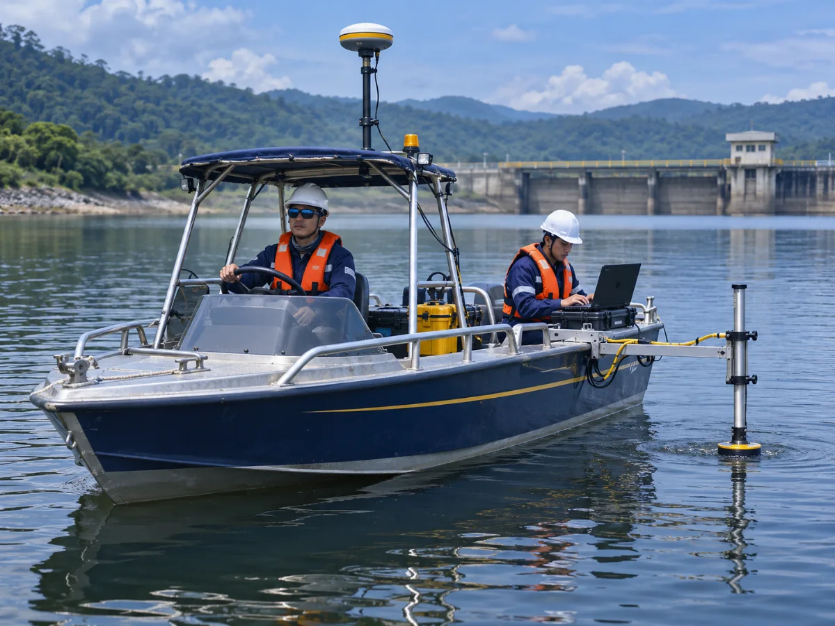
Hydrographic survey crew collecting measurements from a boat
03

Water environments

Hydrographic & bathymetric surveying

We measure water depth and map underwater terrain to support projects on rivers, reservoirs, harbours and coastal sites.

  • Bathymetric surveys
  • River and reservoir surveys
  • Coastal and marine surveys
  • Harbour and port surveys
  • Underwater terrain mapping
  • Cross-section and longitudinal surveys
  • Hydrographic data processing
  • Survey reporting
What should be confirmed for waterbody work?

Waterbody access, survey limits, operating conditions, deliverable format and any site-specific safety requirements are discussed during scoping.

Discuss a hydrographic survey
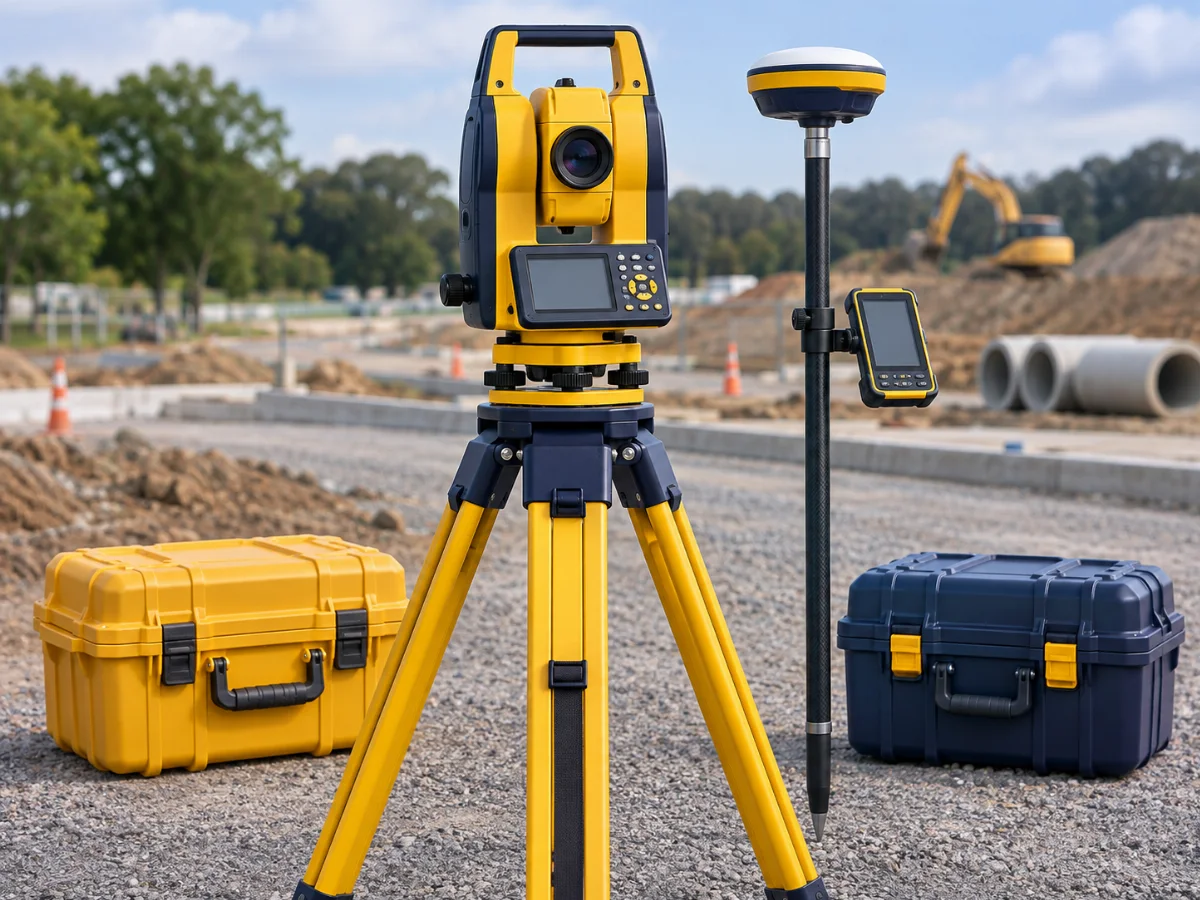
Total station, GNSS rover and instrument cases at a construction site
04

Supporting field teams

Survey equipment hiring

Tell us the instrument type, project location and hire dates. We confirm models, specifications, availability and terms for each request.

Explore equipment hiring

A clear start

From brief to agreed scope.

01

Share your requirement

Tell us about the location, project stage and information required.

02

Discuss the scope

We clarify deliverables, access, programme and relevant assumptions.

03

Receive a proposal

A suitable service and commercial response can then be prepared.

Have a defined scope?

Speak with the right specialist.

Send your project details and we will route your enquiry accordingly.

Send an inquiry